Sussex Nature Partnership has worked alongside the South Downs National Park Authority and Woodland Trust to a Woodland Opportunity Map for Sussex and the areas of the South Downs National Park in Hampshire.
This is a GIS based tool to help farmers, landowners and managers with initial guidance on identifying sites suitable for woodland creation in Sussex and South Downs National Park.
It uses a methodology similar to that applied in other sensitive landscapes, such as Nidderdale AONB and Yorkshire Dales National Park.
The Woodland Opportunity Map for Sussex was completed in 2022 and is hosted on the South Downs National Park Authority Website as a story map and is accompanied on that page by FAQs, a guidance document and a technical report which sets out the methodology and datasets used. We advise that you access the map via the SDNPA site – having viewed the information and accompanying documents which will provide an understanding of the proposed use and limitations of the map.
The published story map is not a final map. It is a first iteration and will undergo a six month period of ‘ground truthing’ to identify any problems or inaccuracies it may have in relation to suitability of sites for woodland creation (Sept 2022 – Feb 2023). Within this period, if you note any issues with the map – please contact the South Downs National Park Authority on info@southdowns.gov.uk
History of the project: This project evolved from an initial pilot study to develop a woodland opportunity map for Lewes District Council. This was a collaboration between Sussex Nature Partnership, Lewes District Council, Clean Growth Hub and University of Brighton (Holly Pike, MSc student). This pilot project was completed in 2021 and interest in the outputs prompted a project to refine the approach and create the larger scale map for the wider Sussex and South Downs National Park area.
Relevant Documents
Woodland Opportunity Mapping Guide – November 2022
Woodland Opportunity Mapping Technical Report – August 2022
Pilot project: a Woodland Opportunity map for Lewes District: report – 2021
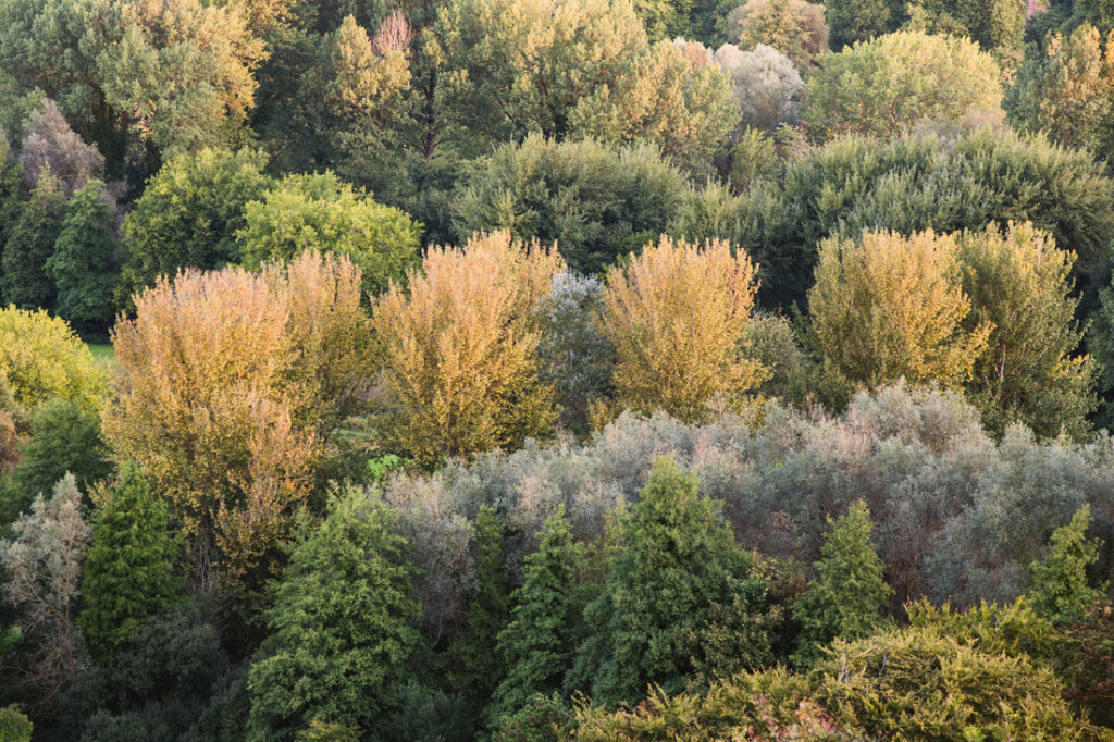
(Photograph above by Dom Escott/Sam Moore (uploaded to Flickr by Paul Barnes))
